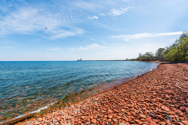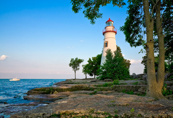
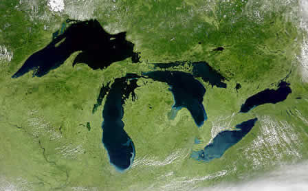
The Great Lakes basin extends into both the United States and Canada, with all of the lakes except one (Lake Michigan) bordered by both countries. Therefore, state-by-state or province-by-province policy does not work as effectively as a regional approach.
The Great Lakes include, Superior, Michigan, Huron, Erie and Ontario. These lakes form the largest fresh water system on earth and they are North America’s greatest natural resource.
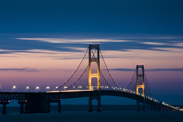
Rising 552 feet (that's 55 stories!) above the Straits of Mackinac, where lakes Michigan and Huron meet, is the world-famous Mackinac Bridge. Also known as the "Mighty Mac," this engineering marvel is 5 miles long and, anchor block to anchor block, is one of the longest suspension bridges in the world!
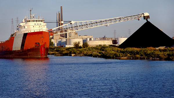
You'll be surprised to learn how much of the stuff you use every day was actually transported on the Great Lakes before it made its way to you!

After World War II, people started moving from the cities into the countryside. The GI Bill, road building projects, and increased car manufacturing all contributed greatly to this shift, and living in "suburbia" signified a better quality of life.
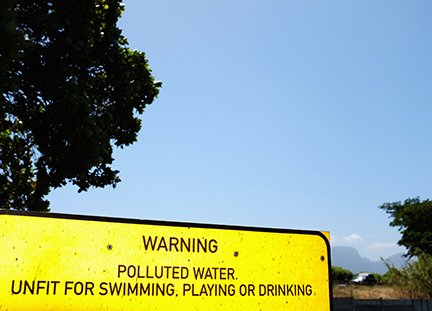
Water pollution affects the health of the waterway, the health of the organisms living in and around the waterway, and, eventually, the health of humans. The effects of water pollution can range from aquatic deformities to contaminated fish to "dead" lakes.
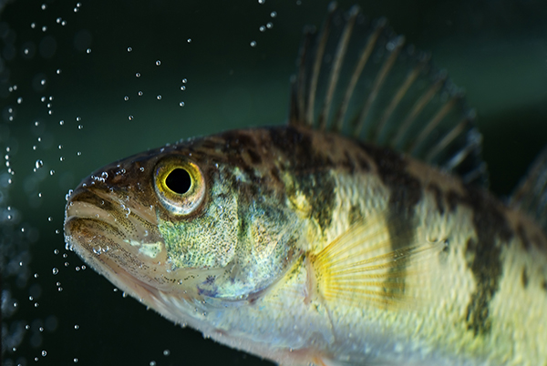
Fish make up more than half of the known vertebrate species in the world. Currently, there are about 50,000 known species of fish, with new species being identified every year! Despite the fact that freshwater rivers and lakes represent only about 1 percent of the world's water, more than 41 percent of all fish species are found there.

Fish spend their entire lives in the water. The water surrounds them, flows over their gills, and supports them. They eat plants and animals that also live in the water. What happens when that water is polluted?
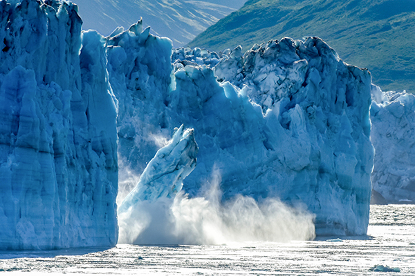
Six hundred million years ago, during the Paleozoic Era, central North America was covered by a shallow sea. This sea deposited a lot of sand, salts, and silts, which, after time, were compressed into limestone, sandstone, shale, halite, and gypsum.
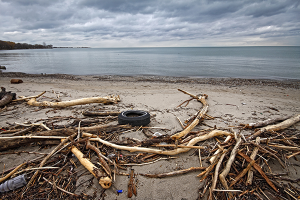
The Great Lakes AOCs are environmentally degraded areas around the Great Lakes basin. Find out about the causes of pollution and what is being done to restore and clean up these areas.
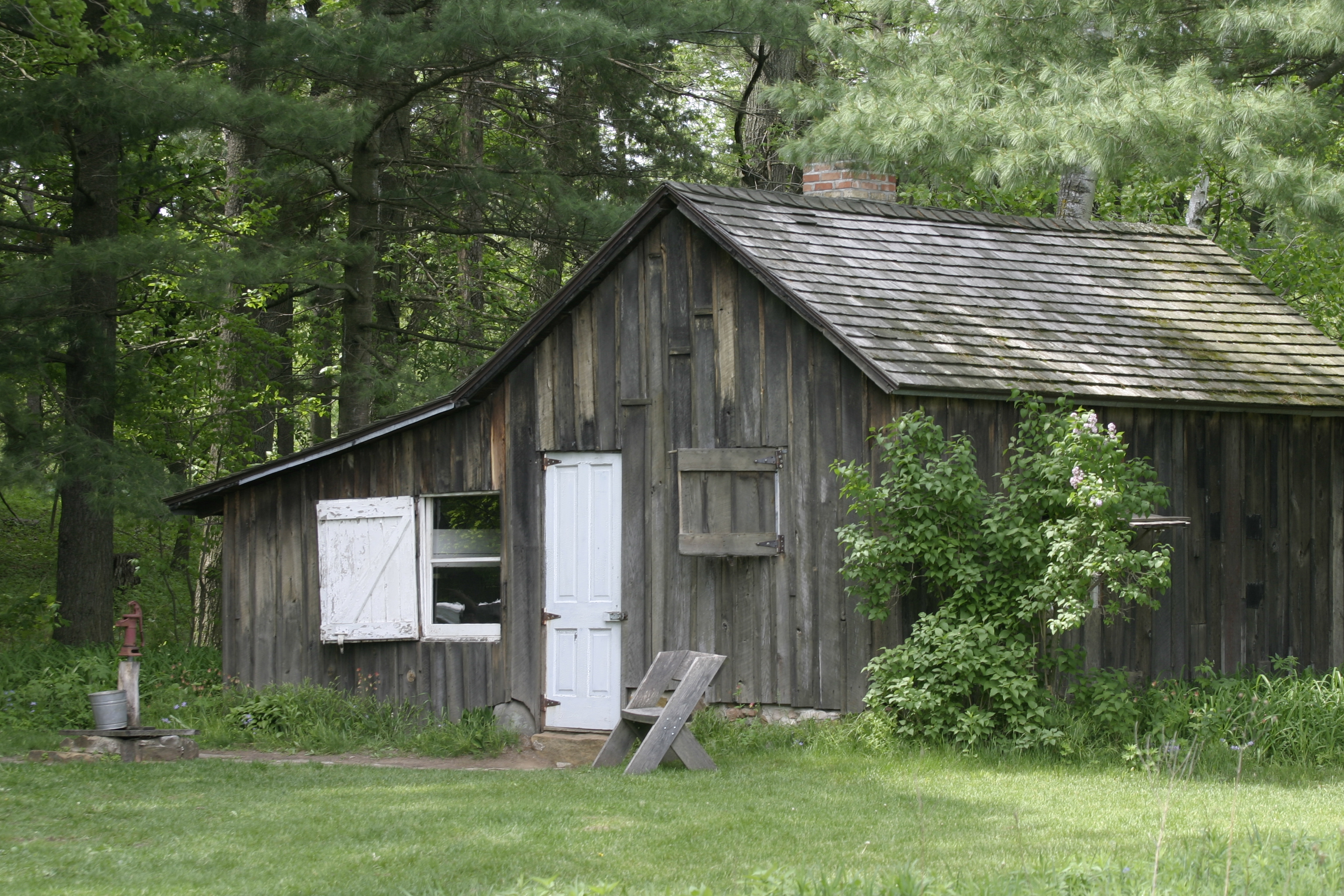
Many writers over the years have used the Great Lakes as a source of inspiration for their work. Their landscape and natural features attracted some writers to live close to the lakes as a quiet place to work on their pieces.
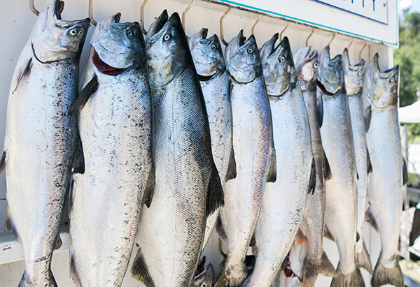
In the Great Lakes region you'll find the largest continuous mass of freshwater in the world. In fact, these lakes, shared by the United States and Canada, have supported one of the world's largest freshwater fisheries for more than 100 years.
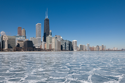
The Great Lakes influence regional climate. If you visit one of the Great Lakes you will notice that the weather is much different than inland. The temperature and winds vary from day to night and throughout the seasons.
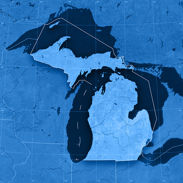
Names give us a relationship to a place and help us remember it. Think of towns, rivers, and lakes near where you live. Do you know how these places were named?
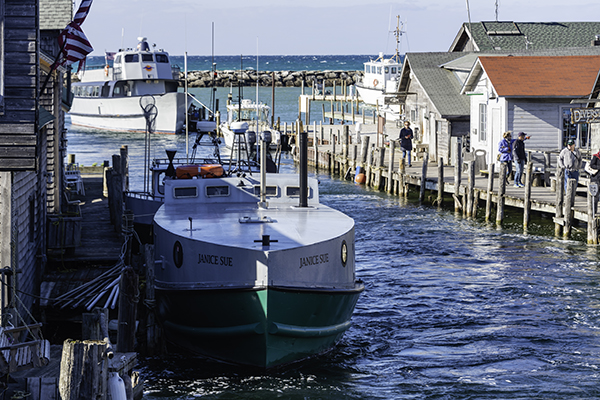
The Great Lakes, often referred to as the "fourth seacoast," are home to the U.S.-Flag fleetand the Canadian-Flag fleet. In addition, dozens of international vessels regularly travel through the Great Lakes, visiting port communities along the way.
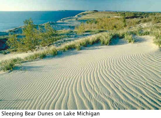
The sand dunes of the Great Lakes region represent the largest freshwater coastal dunes in the world. These dunes, such as the Sleeping Bear Dunes on the northeastern shore of Lake Michigan, are only 3,000-4,000 years old - that's very young, geologically speaking!
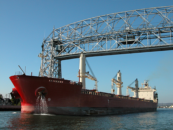
The largest ships that visit Great Lakes ports are designed to carry such bulk cargoes as iron ore, coal, stone and grain. Other ships are designed for general cargoes such as machinery, steel and bagged food products.
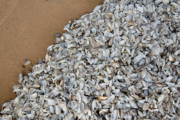
Once a non-native species is established in the Great Lakes, it is nearly impossible to get rid of it. Therefore, it is extremely important to prevent introductions of new species.
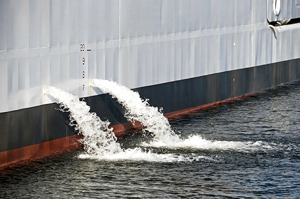
Ballast water is fresh or saltwater (sometimes containing sediments) held in tanks and cargo holds of ships. Ballast water is pumped onto ships at different ports of call to add weight to ships that may be carrying little or no cargo.
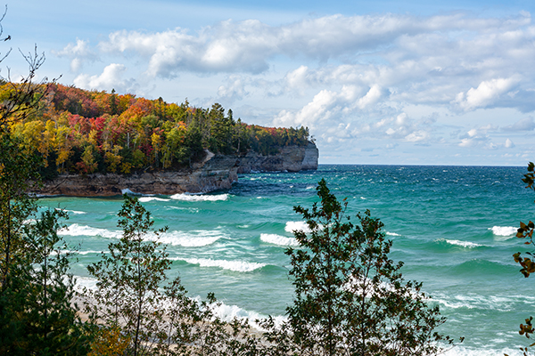
About a billion years ago, a fracture in the earth running from what is now Oklahoma to Lake Superior generated volcanic activity that almost split North America. Over a period of 20 million years, lava intermittently flowed from the fracture.
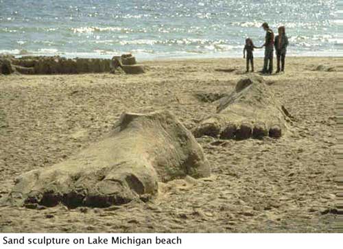
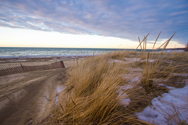
The most common type of shoreline in the Great Lakes region is the sand beach. Sand is deposited on beaches when the waves from the lake move it up from the lake bottom to the shoreline, and the sandy shorelines are ever changing.
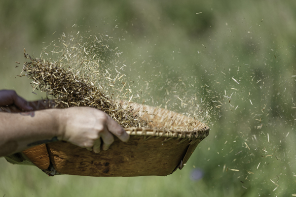
Native Peoples found all the things they needed to survive in the water and on the land where they lived. Native Peoples continue to pass down this knowledge and practice these same skills.
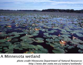
The freshwater wetlands of the Great Lakes' coasts are unique in ecological character, size and variety. They range from small wetlands nestled in scattered bays to extensive shoreline wetlands such as those of southwestern Lake Erie, freshwater estuaries of northern Wisconsin and the enormous freshwater delta marshes of the St. Clair River.
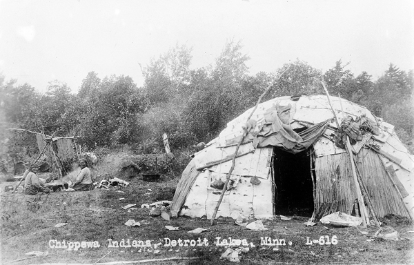
Native Peoples are the original inhabitants of North America, including the Great Lakes region. Native Peoples inhabited the continent tens of thousands of years before the arrival of explorers and settlers from other countries.
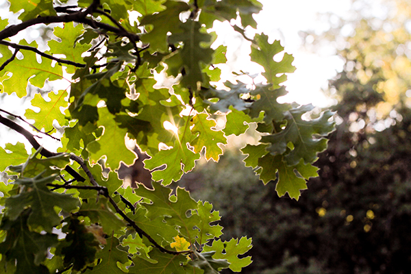
The white pine, Michigan's state tree, is considered to be the largest conifer in the northeastern United States. The needles are soft, bluish-green to silver green in color and are regularly arranged in bundles of five.
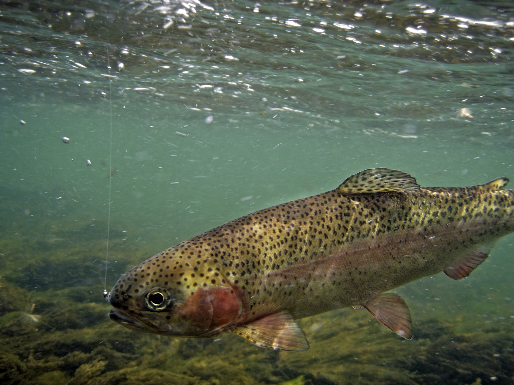
When a species is introduced into a new habitat it lacks natural controls on its population; predators, and competitors are absent and prey don't know how to avoid them. Without these natural controls, populations of introduced species often explode.
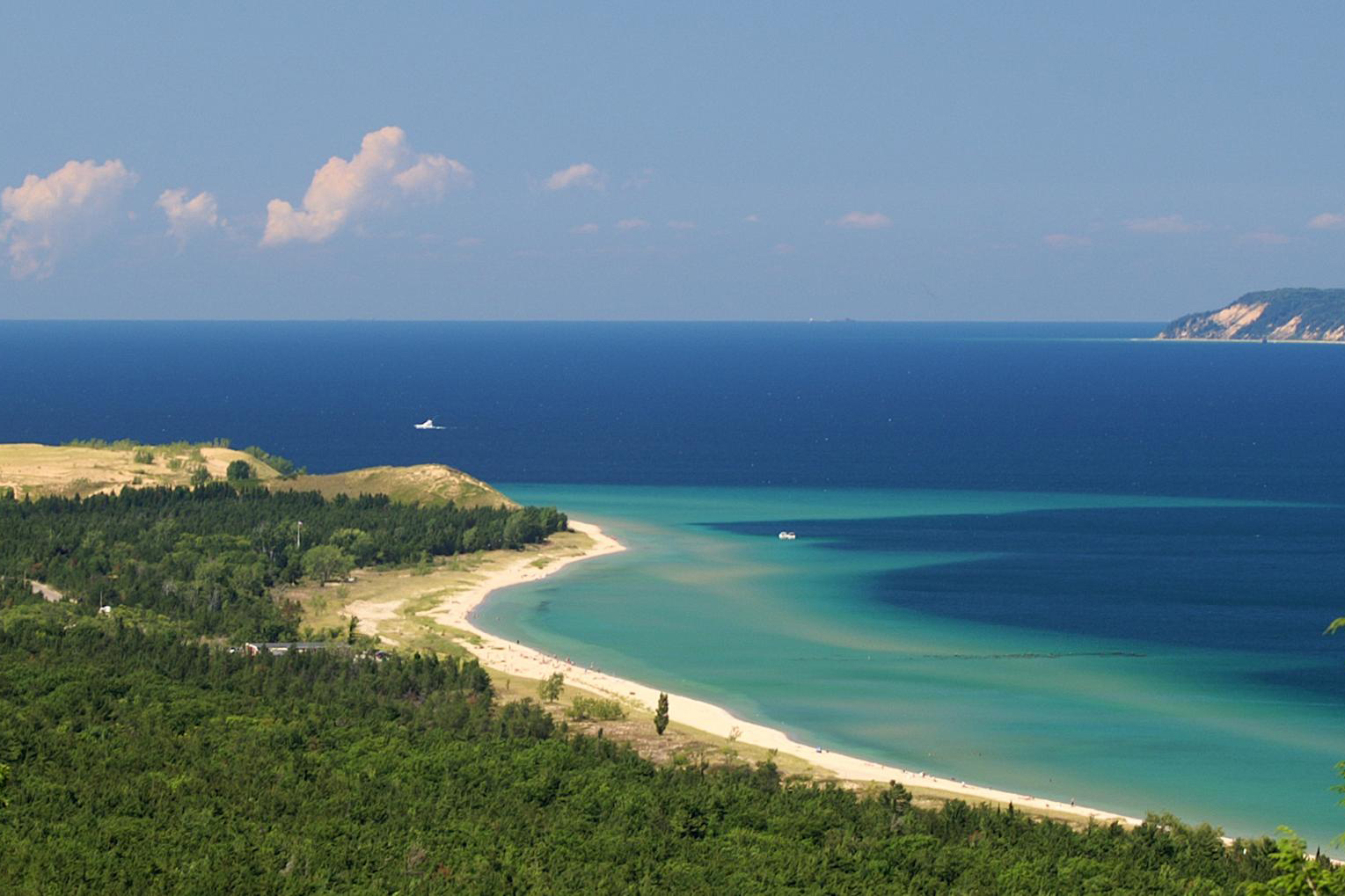
The Great Lakes are bountiful sources of food for Native Peoples. They are well respected and often the subject of spiritual practices.
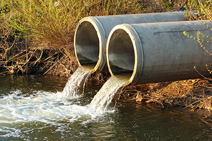
Like many other bodies of water around the world, the Great Lakes are polluted. Find out about the different types of pollutants and how they enter the lakes.
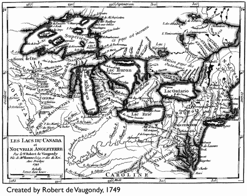
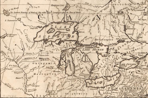
The Great Lakes are rich in natural resources. They provide abundant fresh water, food such as fish and wild rice, and a network of lakes and rivers for travel and trade. Many tribes competed for access to these resources.
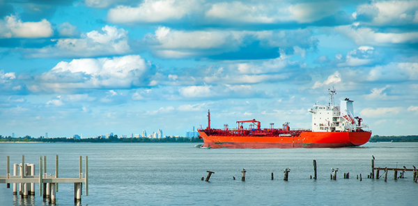
Ships typically travel in upbound or downbound shipping lanes between ports on the lakes to avoid collisions. If a vessel is downbound, it means that it's headed out of the Great Lakes toward the Atlantic Ocean.
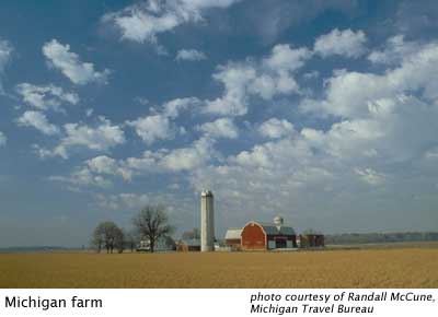
States and communities are beginning to realize the effects of sprawl, and many are in the early stages of developing and implementing plans to curb it. The city of Portland, Oregon, is one of the best examples of efficient land-use planning in the United States.
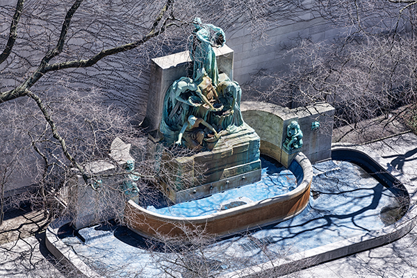
The Fountain of the Great Lakes depicts five female figures grouped together so that water flows from their shells in the same way it passes through the Great Lake system.
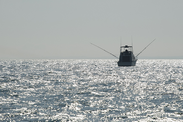
Today, only pockets of the once large commercial fishery remain. For Canada, the Lake Erie fishery remains prosperous, and represents nearly two-thirds of the country's total Great Lakes harvest. In the United States, the commercial fishery is based on lake whitefish, smelt, bloater chubs and perch, and on alewife for animal feed.
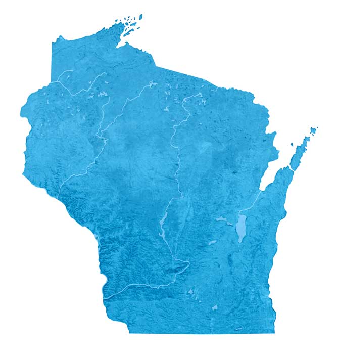
During the Ice Age, mile-thick sheets of ice covered the Great Lakes region multiple times depressing the crust with their weight. Ancient beach ridges mark previous lake shorelines. Since glaciers retreated (about 10,000 years ago), Earth’s crust has been adjusting upward in a process of isostatic rebound that continues today.

The lasting influence of Native American tribes and First Nations is evident by looking at any present-day map of North America. You will have to search harder to find other ways that native people continue to shape our country.
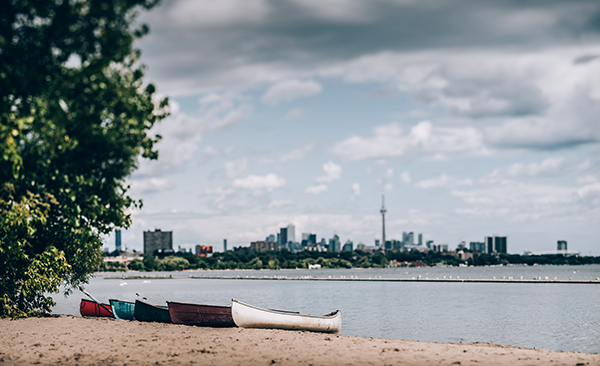
The Great Lakes—Superior, Michigan, Huron, Erie and Ontario—and their connecting channels form the largest fresh surface water system on Earth. If you stood on the moon, you could see the lakes and recognize the familiar wolf head shape or the mitten bounded by lakes Michigan, Huron and Erie.
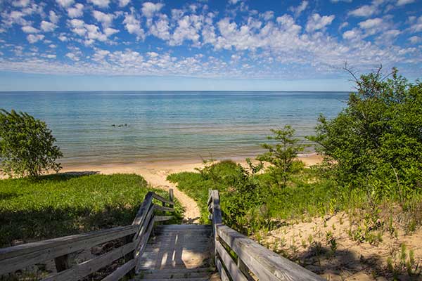
Water levels are part of the ebb and flow of nature. Learn about the three types of water level fluctuations, how levels are measured on the Great Lakes, and what's causing the recent drop.
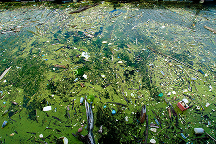
Eutrophication had claimed Lake Erie and excessive algae became the dominant plant species, covering beaches in slimy moss and killing off native aquatic species by soaking up all of the oxygen.
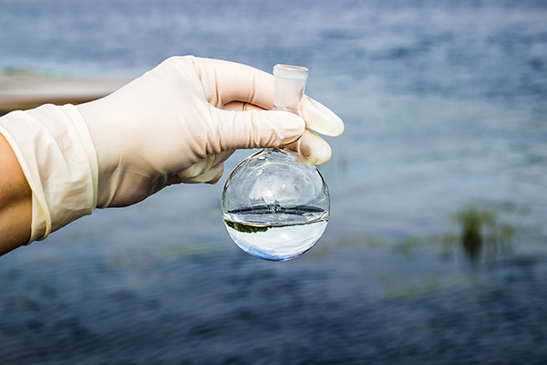
The International Joint Commission (IJC), created as a result of the Boundary Waters Treaty of 1909, conducted studies on the water quality of the Great Lakes in the 1960s, determining that excessive phosphorus was causing eutrophication in the Great Lakes, particularly in lakes Ontario and Erie.
During the 18th and 19th centuries, people often used rivers and lakes as garbage cans. They believed that water could dilute any substance. We've learned a lot, but there is still much to be done.